
How to Search McDowell Property Records
Start at the West Virginia Property Assessment search. Enter an owner name, address, or tax-map parcel. Pick McDowell County. Open the matching card. Copy the full parcel number plus the deed book and page. One card can tie a current address to the owner of record. It adds a legal description, acreage, land and building values, and a map link. Then take the book and page to the County Clerk's deed index. That confirms the instrument behind the owner field. Tax tickets and delinquent-land files run on separate systems. A tax bill will not surface in the deed index.
A McDowell property search assembles public facts from the record keepers. It does not set market value, guarantee clear title, or replace a survey. Keep the parcel number in your notes. Street names, mailing cities, and legal descriptions rarely match one another perfectly.
- Search the state assessment site with the McDowell address, owner, or parcel key.
- Record the PID and book/page from the card, then test the current owner's name in the County Clerk deed index.
- Open the tax inquiry service for the account or ticket and confirm bill status there.
- View the surface parcel on MapWV, then compare its legal description and tax map with the recorded plat or deed.
- Ask the Clerk for the official copy or use the older index books and non-indexed deed images when the portal stops.
What a McDowell Assessment Card Connects
The state assessment card is a bridge between an address and the county record chain. One Welch card, PID 27-15-0002-0363-0000, showed tax year 2026 and owner names. It carried a Nashville mailing address, a McDowell Street physical address, and a more exact E-911 address in Welch. It also listed district 15, map 0002, parcel 0363, suffix 0000, book and page 645/539, a surface legal description, and both deeded and calculated acreage. Those fields are not interchangeable. Copy the PID exactly. Treat book and page as a lead to the recorded deed rather than proof that the web card is the deed itself.
The same card carried land appraisal, dwelling value, total appraisal, land use, and a building card. Those figures exist for tax administration. They say nothing about who occupies a structure or where a boundary runs.
The state assessment site shows its search landing page and county selection process in this view:
Open West Virginia Property Assessment to choose McDowell County and search the public roll.
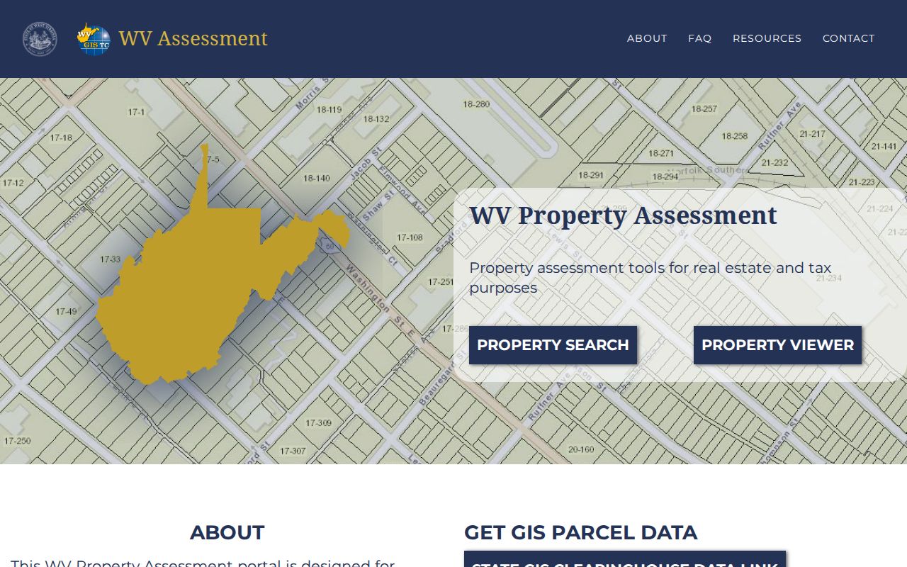
Note: The page is an annual publication, so confirm recent changes with the local assessor and the recorded deed.
McDowell Property Records: Offices and Custodians
Land records stay with the county even when the search runs through a state host. The County Clerk at the courthouse in Welch keeps deeds, deeds of trust, releases, plats, and other official instruments. The assessor's office maintains the current parcel and value roll. A separate tax inquiry channel handles tax bills. The State Auditor holds the certified-to-state and land-sale search. City Hall may hold permits or ordinances. No public building-permit or zoning lookup exists for Welch, War, or Iaeger.
McDowell Online Tax Inquiry
Online Tax Search and Online Tax Payment
Vendor page; county account workflow
Fields and charges not confirmed
McDowell's Deed Index and Its Online Edge
The County Clerk's public portal opens with an acceptance notice. It then offers Indexes, a tutorial, and links. Name searches can run Standard, FullText, or SoundsLike matching. They sort by date or name and limit parties to grantor, grantee, or both. Controls also cover person or company and exact match. Other options include date range, a browse-by-letter choice, book and page, and instrument types. A broad search often works best at first. Refine only after you see how an old name was indexed.
The portal warns that records still in processing may not appear in the public system. They may also be missing from the in-house system or the permanent index. It calls its online information a convenience copy and does not certify it. Documents recorded before 1971 belong in the Old Index Books and Non-Indexed Deed Images. That is a real access boundary, not proof the property lacks an earlier history.
The Clerk's portal entrance appears here:
Visit the McDowell deed index and read its conditions before searching.
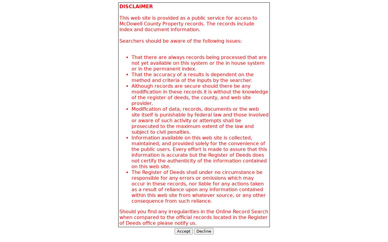
Compare an important online result against the office record before relying on it.
McDowell's Annual Assessment and Three-Year Review
West Virginia values property annually as of July 1, and the assessment level is generally 60 percent of true and actual value. County assessors revisit real property through a repeating three-year cycle while making annual adjustments. This timing helps explain why a sale completed after a roll was prepared might not show as the latest owner on the state site right away. The Property Assessment application publishes assessment data annually, and its guidance tells people to contact the local assessor when a name or address needs correction.
Tax class and land use matter to how an assessment is treated. A card can separate land appraisal, building appraisal and total appraisal; a tax bill then applies the relevant class and any eligible relief. Keep the assessment year beside each figure when comparing records. A value from one tax year is not a current offer price, and the County Clerk's consideration entry for a transfer is a different fact.
Reading the McDowell Parcel Key
Every McDowell parcel carries a state PID that begins with county code 27. District, map, parcel and suffix components follow, and a special ID may appear as well. The district portion gives a quick local clue. A sample Welch card sits in District 15, Welch Corp. A school sample falls in District 14, War Corp. Those are assessor map districts. They do not define a city's full legal boundary. Street addresses can be absent or imprecise. Keep the full PID in your notes and use it to reopen the assessor card and locate the same surface parcel in MapWV.
Names, map numbers and addresses shift over time as tracts divide and legal descriptions get normalized. Splits complicate things. Parcel lines change between July 1 and June 30. The assessor must then file the new map submission by February 1 of the next calendar year. That delay is built in. A line may still look wrong after two years. The viewer says to contact the assessor. Knowing the lag keeps you from mistaking the GIS layer for the deed itself.
McDowell Deeds, Assessments, Tax Tickets and Maps
Each McDowell record answers a different question. A deed documents a transfer or another recorded interest. An assessment card ties an owner of record to parcel and valuation fields, while the tax inquiry system reports ticket details and a map viewer places the surface parcel in geographic context. For the document trail, follow the County Clerk's book and page. For current tax data, compare the assessment roll against the tax inquiry. No single portal holds every field.
| Record Type | What It Documents | Kept By | Access |
|---|---|---|---|
| Deeds and plats | Recorded conveyances, legal descriptions and filed maps | McDowell County Clerk | Online index; older path before 1971 |
| Deeds of trust, releases and liens | Recorded financing and other interests of record | McDowell County Clerk | Search the instrument index |
| Assessment and parcel cards | Owner(s), mailing and situs, appraisal, class, land use and PID | McDowell County Assessor / West Virginia Property Assessment | Public annual search |
| Tax tickets and delinquent land | Bill or payment status; certified-to-state and sale stages | Online tax inquiry / State Auditor | Separate online systems |
| Surface maps | Parcel display, tax-map reference and selected map layers | MapWV and assessor map records | Reference viewer and PDFs |
Match the record to the question. For a transfer date or the parties to a recorded conveyance, start with the McDowell deed records. For tax class, assessed value, exemptions and the annual appeal calendar, use the property tax records guide, keeping in mind that a tax map settles no legal line. None of this is a title opinion.
McDowell Tax Tickets and State-Certified Land
The county-linked tax inquiry site separates Online Tax Search from Online Tax Payment. The dynamic McDowell fields and payment charges vary. Use the live page, and verify ticket details with the responsible office before paying anything. Delinquent land takes a different road. The State Auditor's County Collections page offers a Certified to State form with fields for tax year, county, district, map, parcel, subparcel, certificate number, taxpayer, purchaser, bidder ID, description, ticket, account and status. One field is enough for that search.
The Auditor also links redemption information, notices and annual land-sale pre-registration. Weekly updates are the norm. The assessment FAQ says delinquent-land data on the viewer refreshes weekly. Owners get roughly 18 months to redeem before a sale. Those are different milestones. McDowell-specific added sums may require direct contact. Confirm any current amount or deadline with the Auditor.
The Auditor's public search displays the fields used to find land certified to the state. The statewide form and redemption resources sit together.
Open West Virginia County Collections to reach the statewide form and the redemption resources.
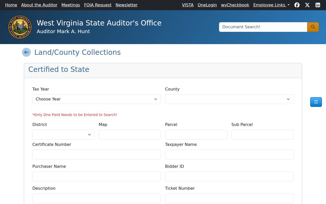
A result should be checked against the parcel ID and current redemption instructions.
McDowell's Older Books and Courthouse History
Older McDowell deeds need different tools. The online deed portal's pre-1971 instruction points that work to Old Index Books and Non-Indexed Deed Images. West Virginia Archives holds microfilm of McDowell deeds, deed indexes, probate, court and vital records. FamilySearch catalogs original-record microfilm too. These sources earn their keep in specific situations. A current owner may have acquired a parcel through an estate, a coal-era company name may predate the online index, or a legal description may cite a former community or plat label. Write down every alternate spelling and geographic term before entering the older material.
Welch won the county seat in the 1892 election, before its 1893 incorporation. City history tells of county records moved at night from Perryville toward Welch in two wagons, to avoid violence. That tale holds a practical lesson. Old place names persist. Early property history may cite a community now associated with English or Coalwood, while the controlling modern land chain remains in county records. For a house history, preserve the old place name. Then compare it with the present PID.
Welch, War and Iaeger in the County Record Map
Welch, War and Iaeger lead the 2020 roster of incorporated places. Their property records still pass through McDowell County. Welch's sample PID sits in District 15 Welch Corp. War's sample sits in District 14 War Corp, yet it carries a Welch mailing address and a physical route location. Iaeger's history reaches back to a plat made about 1885, three decades before its 1917 incorporation. These are distinct clues. They are not interchangeable city descriptions.
Postal ZIPs move mail, not municipal lines. Welch uses 24801, War 24892 and Iaeger 24844. For each parcel, compare the mailing city with the assessor's physical and E-911 fields, the map district, the legal description and the GIS polygon. The county-wide Welch property-record guide follows the seat history and address context, while the War and Iaeger pages cover their own record clues.
Requesting a McDowell Record That Is Not Online
West Virginia's Freedom of Information Act gives anyone the right to inspect a public record. It also gives anyone the right to copy one. A good written request speeds things up. Name the parcel address or PID. Add the owner or applicant if known. State the record type, and give an approximate date range. The custodian must answer within five business days, not counting weekends and legal holidays. That answer may deliver the records, schedule an inspection, or deny the request in writing.
Route each question to the right office. Deed and plat questions go to the County Clerk. The assessor handles tax-card corrections. The tax office handles tax tickets. Permit or zoning files sit with the city that holds them. McDowell posts no copying or certification fee schedule, so ask about those costs before ordering. A free index online does not make a certified image free.
Limits of a McDowell Property Records Search
Each McDowell County tool answers a different question. A deed index lists recorded instruments. An assessor card shows the current published owner and tax data. A tax inquiry reports a bill. A GIS viewer places mapped surface parcels on screen. Together they can support a careful property history, but none certifies that every interest has been found. The deed portal cautions that records still in processing may be missing. The assessment viewer notes that annual publication can lag a recent closing. A map line is not a survey. Calculated acreage is not the deeded area.
Older McDowell records live in separate series. The West Virginia Archives finding aid dates the county deed-index series to 1842. It lists wills from 1893 through 1969, probate from 1897 through 1926, and fiduciary records from 1894 through 1927. These materials can clarify how an estate or representative relates to a transfer. Still, the land description and the recorded conveyance must match. Note each volume and spelling checked, then tie the older reference to the current parcel ID through the deed chain.
Lawful use. Use McDowell records for property research, ownership due diligence and civic transparency. Confirm title with a qualified professional and boundaries with a licensed surveyor; do not use owner details to stalk, harass or harm anyone.