
Iaeger Property Records: Search by Town Lot or Route
A present-day Iaeger lookup starts in the statewide assessment application. Search by site address, owner or map key. Copy the full PID and the book/page from the county card. Then check the recorded transfer in the County Clerk deed index. The parcel card shows value rather than title. The tax inquiry tool answers ticket questions. MapWV locates the surface parcel on the ground. In this narrow valley, a highway, hollow, route or branch often matters more than a numbered street. Compare the E-911 field, legal description and map reference instead of trusting a postal line alone.
- Search the county assessment application by Iaeger site address, owner or parcel clue.
- Copy the PID and legal description from the matching card.
- Search the current deed and older party names in the County Clerk index.
- Use the map viewer for surface location and the separate tax inquiry for the ticket.
- Ask the town about permits or zoning by address; no public portal was found.
The McDowell property-search guide walks through the county lookup step by step. For an Iaeger lot, keep both the modern address and any lot, block or older plat language handy.
Iaeger Property Records and the 1885 Town Plat
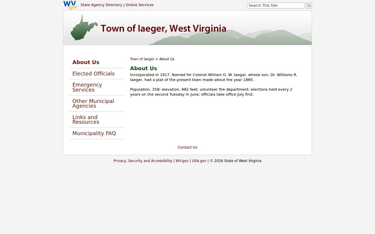
Iaeger's official history dates the town's incorporation to 1917. It was named for Colonel William G. W. Iaegar. His son, Dr. Williams R. Iaeger, had a plat of the present town drawn about 1885, roughly 32 years before incorporation. That makes the plat older than the municipal name on today's addresses. It is a strong starting point for downtown lots and older house histories.
Search the County Clerk records for both the Iaeger and Iaegar spellings, plus lot and block terms and any plat reference named on a deed. Tie the plat to its recorded book/page or image rather than paraphrasing it as a modern subdivision. The town's official history page gives the incorporation date and name-origin detail: read Iaeger's official town history for that context.
Treat the history as an archival lead, and verify each property's chain in the recorded instruments themselves.
Iaeger Property Records in County and Town Offices
For land records, the route runs through the County Clerk's deed index and plat books, the assessment roll and the state parcel viewer, with tax tickets handled by a separate inquiry system. Iaeger's town offices hold a different kind of paper. They can supply minutes, ordinances, street files and other municipal context. A town recorder is not the county deed recorder. Iaeger's official site offers no searchable permit or zoning portal, so those requests go through the town directly. Ask the town hall about a parcel-specific administrative file.
McDowell County Land Records
Use the county assessment card to find the parcel and owner field, then confirm a transfer in the County Clerk deed index.
Iaeger Mayor's Office and Recorder
PO Box 158; Town Council at 58 Circle Street
Iaeger, WV 24844
304-938-3035
Iaeger Property Records with Iaegar Name Variants
The town is spelled Iaeger today. Its origin story honors Colonel William G. W. Iaegar. That single letter can break an older grantor or grantee search. Run both forms in the County Clerk's portal, using the Standard, FullText and SoundsLike modes, and switch between person and company searches as the deed requires. A deed may also describe land by lot, branch, hollow or route rather than by any town address. Keep whatever spelling appears on each instrument. Then tie it to the parcel with the legal description, deed date and book/page. An 1885 plat reference may surface an older lot name. That name can be more useful than the modern mailing address.
Iaeger's Mayor, Recorder and Town Records
Iaeger lists its Mayor's Office at PO Box 158, Iaeger, WV 24844, with phone and fax at 304-938-3035 and weekday hours from 8 a.m. to 4 p.m. The Town Council meets at 58 Circle Street. Public pages name municipal recorder Ruby Fanning. They also identify a municipal judge, street commissioner, police and fire departments. These offices can help with minutes, ordinances, local streets and administrative files that explain a property's town context. None of that replaces the county deed, owner assessment or tax map. When requesting a city file, state the address, owner or applicant if known, the type of record and the approximate year.
Iaeger ZIP 24844 and Valley Addresses
Iaeger uses ZIP 24844, but a postal city never defines the incorporated boundary. In the town's narrow valley, many addresses rely on a highway, route, hollow or branch rather than a numbered downtown street. The assessor's E-911 field is often the stronger location clue. Compare it with the physical address, the district and map fields, the full PID and the legal description. Confirm the postal city with USPS before mailing. Confirm the land location through the parcel card and map. Not every address delivered as Iaeger sits inside the town limits.
Iaeger Property Records for Lots, Plats and Additions
The official history points to an approximately 1885 plat of the present town, but no public index gives its book/page, map range or a list of named Iaeger subdivisions. Do not substitute Welch or War additions. The 1885 plan and any later lot and block language should come from the County Clerk, tied to the current parcel by legal description. Until that citation is in hand, treat the original town plat as a historical lead. It is not yet a mapped modern neighborhood. Naming it as one would misstate the record. Precision here protects the chain of title.
| Neighborhood / Subdivision | Era | In the Records |
|---|---|---|
| Present-town plat | About 1885 | Attributed to Dr. Williams R. Iaeger; obtain the recorded book/page |
| Downtown lot or block | Plat and lot era not verified | Search deed description and Clerk's plat books for the actual reference |
| Hollow, highway or branch address | Individual property dates not established | Use E-911, PID and legal description; no town map range published |
When a deed names a lot, block or plat, copy the exact language. Include any book/page reference. Use the assessor PID to connect that historic description with the current surface parcel. The county map viewer gives orientation. The recorded instrument and a licensed survey answer different questions.
Iaeger Property Records and the Unpublished Map Range
Iaeger parcels follow the statewide PID format. County code 27 comes first. Next come the district, map, parcel and suffix. A special ID is added where one applies. McDowell County publishes no Iaeger-specific district prefix or map range. Use the full parcel ID printed on the assessment card. Do not guess a local map series. For a known address, the assessor's map room can identify the corporation district. It can also identify the map range and the lot plats that matter. Treat the 1885 town plat as a lead only. Match it to its recorded book and page. Do not read it as a modern subdivision layer.
Iaeger Property Records for Permits and Zoning
Iaeger posts no searchable permit or zoning portal. No online index covers building permits, demolition approvals, code enforcement or other municipal property files for the town. The Mayor's Office and the town recorder handle these requests directly. Describe the property by its current address, the prior owner or applicant, the approximate work date and the record category you need. Include the PID as a locator only. Town files often run by street or applicant name. Permit application fields, historic coverage, fees and retention periods go unpublished. Ask the town to confirm each detail before arranging an inspection or copy. A public-record request should stay narrow. Distinguish a permit from a demolition approval, a code notice, a street file or an ordinance.
Iaeger Assessment Values and Small-Town Context
McDowell County publishes no Iaeger value trend. There is no neighborhood sales report either. No historic overlay dataset rounds out the picture. A parcel card still carries real detail, including a small lot or block description, a mailing PO Box, land and building appraisals, a use code and a tax class. The assessment date falls on July 1. West Virginia values property at 60 percent of true and actual value, updates the roll annually and revisits each parcel on a repeating three-year cycle. Those rules govern process, not local trends. A recorded transfer price belongs to a deed and its date, while an assessor value belongs to a tax year. Match the parcel and improvements first. For a current market opinion, rely on a licensed appraiser rather than an older conveyance or the annual tax roll.
Iaeger House Histories Before the Online Index
Older Iaeger deeds need older tools. The McDowell County deed portal sends anything recorded before 1971 to Old Index Books and Non-Indexed Deed Images. Try the "Iaegar" spelling too. Old lot and block references help, and the 1885 plat clue matters when the modern index comes up empty. The West Virginia Archives finding aid describes a deed-index series that begins in 1842, with other deed and court materials available on microfilm. FamilySearch catalogs the original film. Log every prior grantor, grantee, instrument date, book and page, and legal description as the chain moves backward. Names may predate the 1917 incorporation.
Iaeger Property Records: What They Cannot Establish
Every record has limits. An assessment card ties an Iaeger address to an owner of record, a PID, a tax class, an appraisal and a legal description. A deed proves the filed transfer. Municipal records may add local context. None alone settles every question, because no single card or deed confirms every title interest, a surveyed boundary, a current sale price or who occupies a building. The statewide assessment publication appears annually. The deed portal warns that records still in processing may lag online, and the town history and original plat remain leads rather than substitutes for the official instrument.
Lawful use. Use Iaeger records for property history, ownership due diligence and civic transparency. Do not use an owner name or address to stalk, threaten, harass or harm anyone.